This was my first-time hiking solo. Although I don’t encourage it because of the risk factors, all I can say is to prepare for the worst and keep a level head. Be safe.
So why did I do this alone? I can make up a lot of reasons, but I just really wanted to go, and the weather window wasn’t cooperating. When the rain clouds were finally away, I rejoiced, packed up immediately and drove to the trailhead.
There are a lot more famous trails near Tokyo but this was recommended to me by my mountain guide friend. Sadly when I went up, it was cloudy and I’m not sure if you’re supposed to see beautiful mountain ranges. However, I give all my stars to the trail itself. I enjoyed it a lot and I had a lot of fun in this hike.
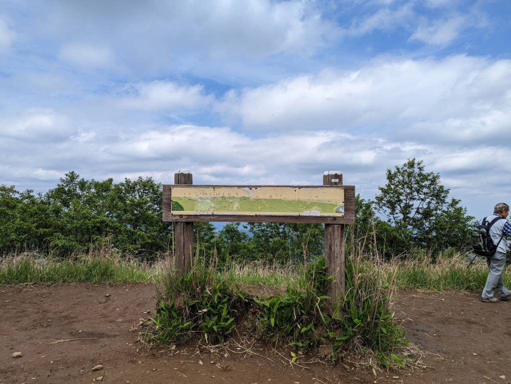
I think you’re supposed to see a panoramic view of the mountain range on a clear sunny day. lol
So here is the terrain map when taking the Shiratanisawa Course Route :
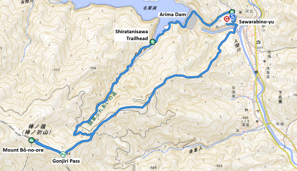
Start Point: Sawarabino-yu (さわらびの湯)
https://sawarabino-yu.jp/access/
If you’re coming from Hanno station, you can take the bus to Sawarabino-yu. For those who are coming by private vehicles, there are some parking lots near the trailhead, but it can only accommodate very few cars. So, I suggest leaving your vehicles at Sawarabino-yu parking lot.
The Shiratanisawa Trailhead (白谷沢登山口) route is a beloved trail for local hikers, and is 2 km from Sawarabino-yu. To get there, you can walk and cross the Arima dam, which is a rock-fill type dam connecting to Naguri lake. The lake is also a wonderful spot for camping, fishing, cycling and just being surrounded by nature.
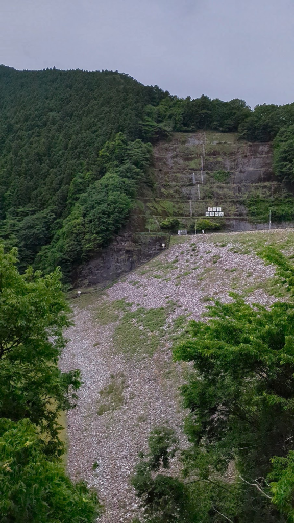
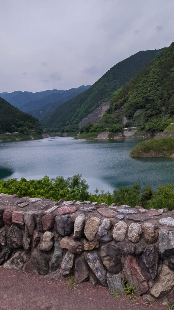
Also, please be careful about the weather. The trail is along a mountain stream. Usually there’s not much water in summer but watch out for frequent rainfall and check for notices before hiking. There is a box to put in your information details before entering the trail. You’ll never know what will happens so better not skip this step.
Entering the mountain has always made me anxious. Its very exciting because it is a wildlife territory and should be treated with respect. There were other people on the trail who looked like seasoned hikers too. It was kind of intimidating because I felt like such a beginner.
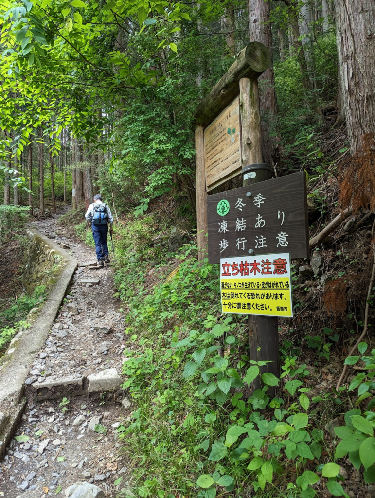
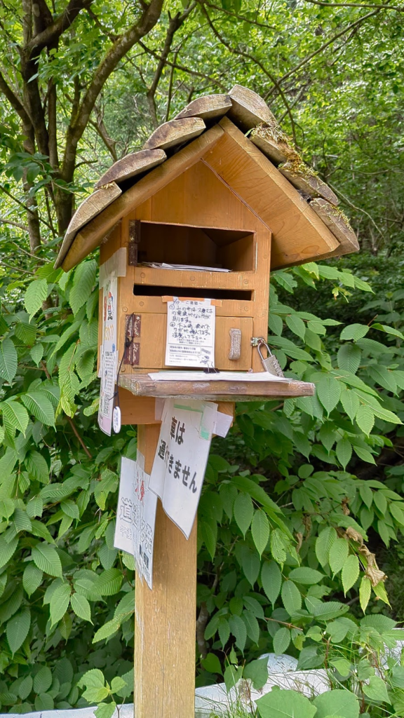
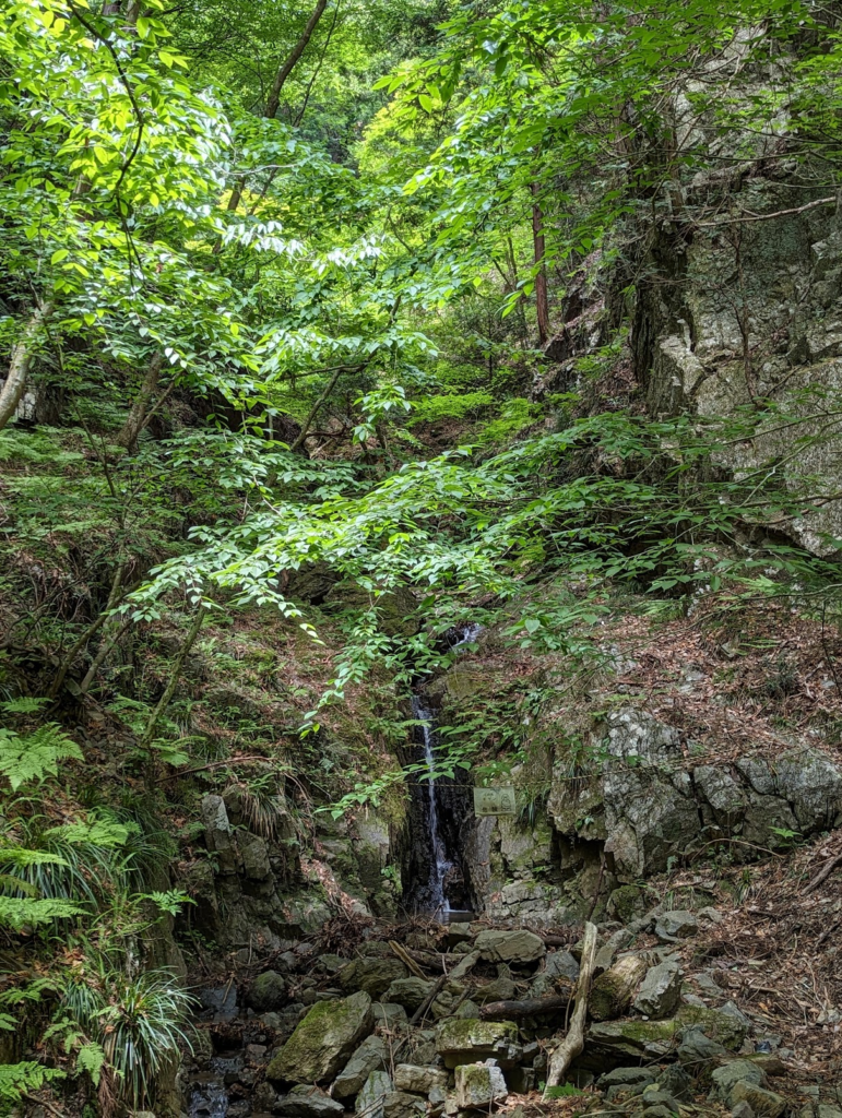
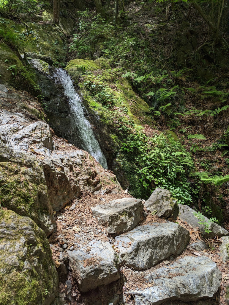
The trail is very fun and you have to be vigilant all the time. There are times that you have to cross the river to climb the rocks and move forward. I was lucky to be wearing waterproof boots so there wasn’t any problems trekking along the river. There wasn’t much water anyway so the only concern is not to slip. Once you pass the Gonjiri pass, it gets a tough with all the webbed roots of the dense forest. You have to mind your footing as you climb closer to the top.
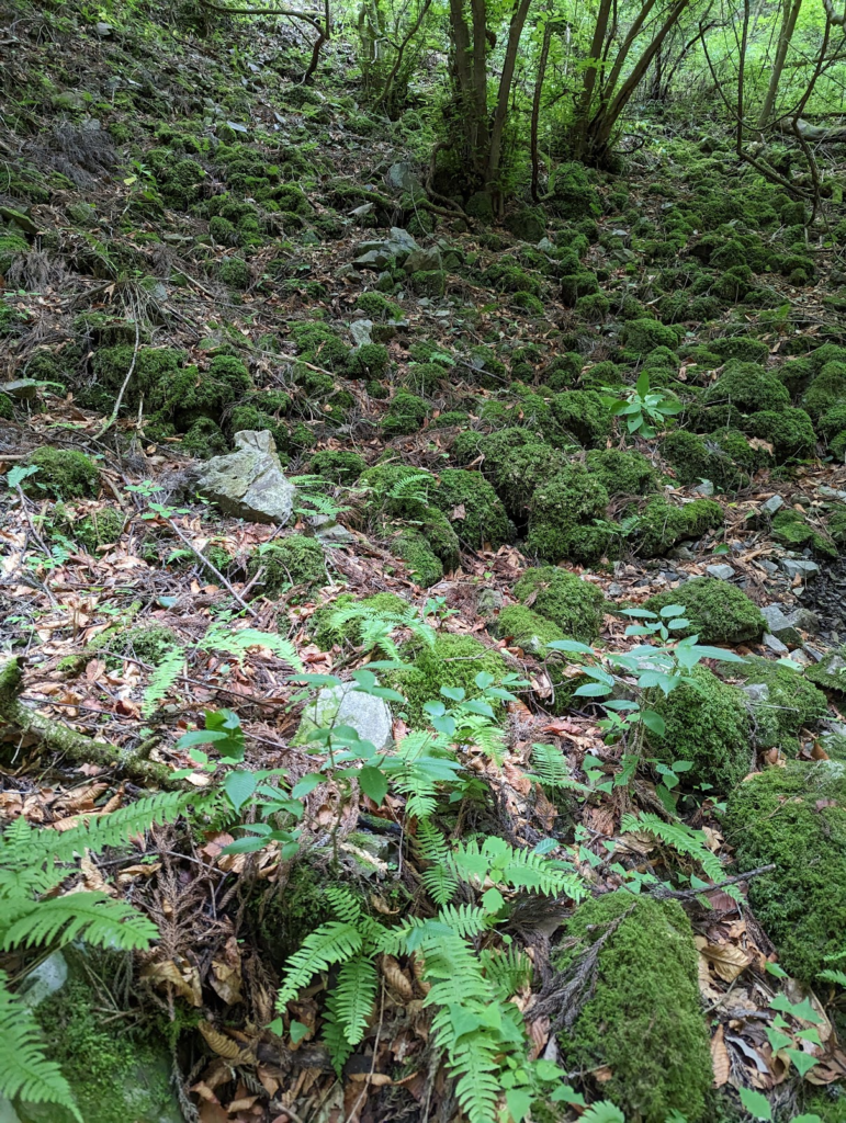
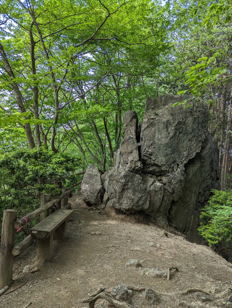
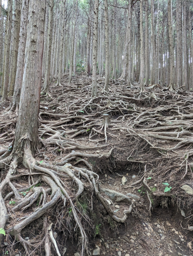
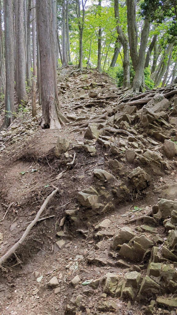
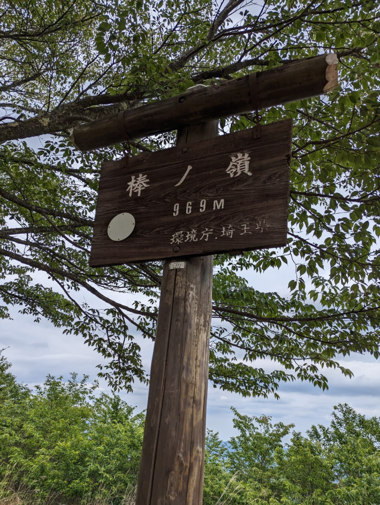
Don’t be fooled by the elevation thinking that its not that difficult compared to 2000m high mountains of the Japanese alps. This hike has about 800m elevation gain so you need stamina for this. Prepare your water, tread with care and enjoy the hike. Both climbing up and going down. The best part is once you reach your goal, which is the Onsen, you can relax your tired muscles and have a nice long bath. Overall, this is generally an easy-to-intermediate hike of about 4-5 hours (round trip). Pretty nice for a day hike. Since I took my sweet time taking pictures and videos, it took me 6 hours to complete it (also including my lunchtime btw).
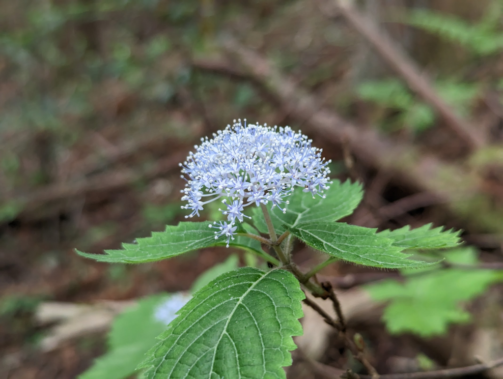
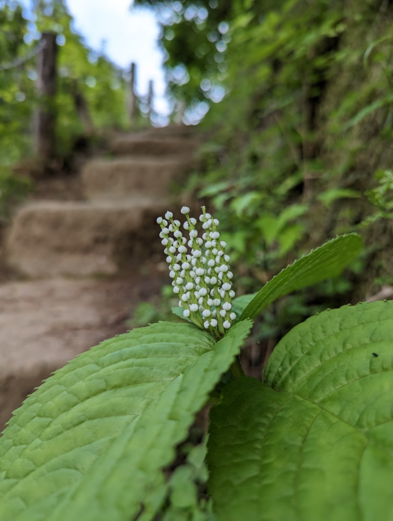
I found some cute wild flowers too! I need to study a bit to know what they are. I can’t keep relying on Google Lens for this. 😛
